Before
The Grid
The
1811 Plan
BUILDING
THE GRID
19TH-CENTURY
DEVELOPMENT
20th century–
Now
living on
the grid
other
Grids
Modern Reforms, 20th Century—Now
World Trade Center Site Plan
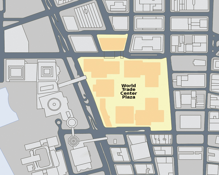

Original site plan for World Trade Center complex, ca. 2000
Public domainBefore August 5, 1966, when ground was broken on the site of the new World Trade Center, a continuous street grid covered the western side of lower Manhattan that predated the 1811 street grid to the north. Although its blocks were small and irregularly shaped, for the most part this grid was fairly uniform and integrated into the surrounding traffic system. The construction of the World Trade Center on a 16-acre site along the river replaced a swath of the older grid with a superblock, closing sections of two north–south streets (Washington and Greenwich) and three east–west streets (Fulton, Dey, and Cortland). When complete, this plan was often criticized for the remote conditions it created at the street level, as the vast site was difficult for pedestrians to access. The seven buildings on the superblock were isolated on wide plazas, and an underground shopping concourse drew activity away from the street. CY